Sea Kayaking Lake Superior - Silver Islet to Rossport
We pulled up in front of the rustic, old Silver Islet General store in Silver Islet on a beautiful, hot July 2021 morning. The store was not open but we were directed by a fellow to unload our kayaks on the east side of the store where a small gravel road went down to the boat launch. While we waited for the rest of our crew to arrive, we scattered our gear all over the parking lot and began the jigsaw process of loading our kayaks for the first time.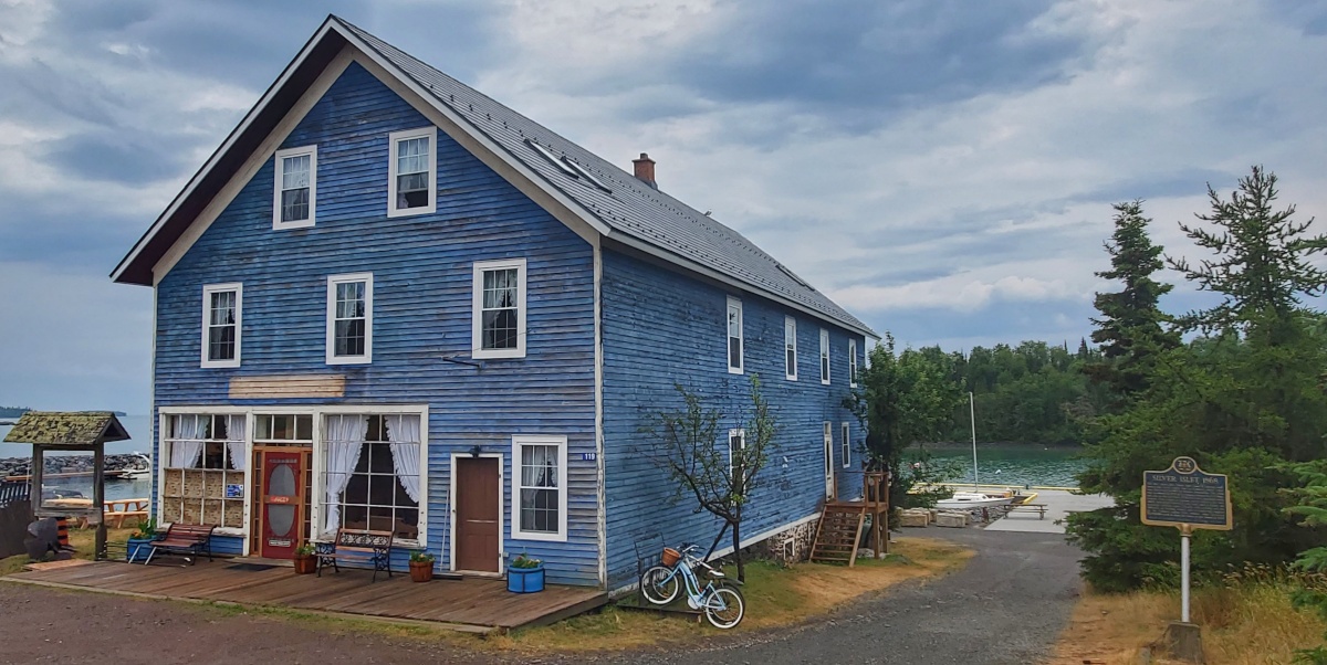
Two of us were from Winnipeg and the other two were coming from Sault Ste. Marie. We wanted to minimize the amount of time we spent on the highway so we arranged a shuttle with Dave Tamblyn out of Superior Outfitters in Rossport. Dave and his partner drove the guys' truck to Silver Islet as they passed through from the Sault and then took both our vehicles back to Rossport for us for a few hundred bucks and it was money well spent.
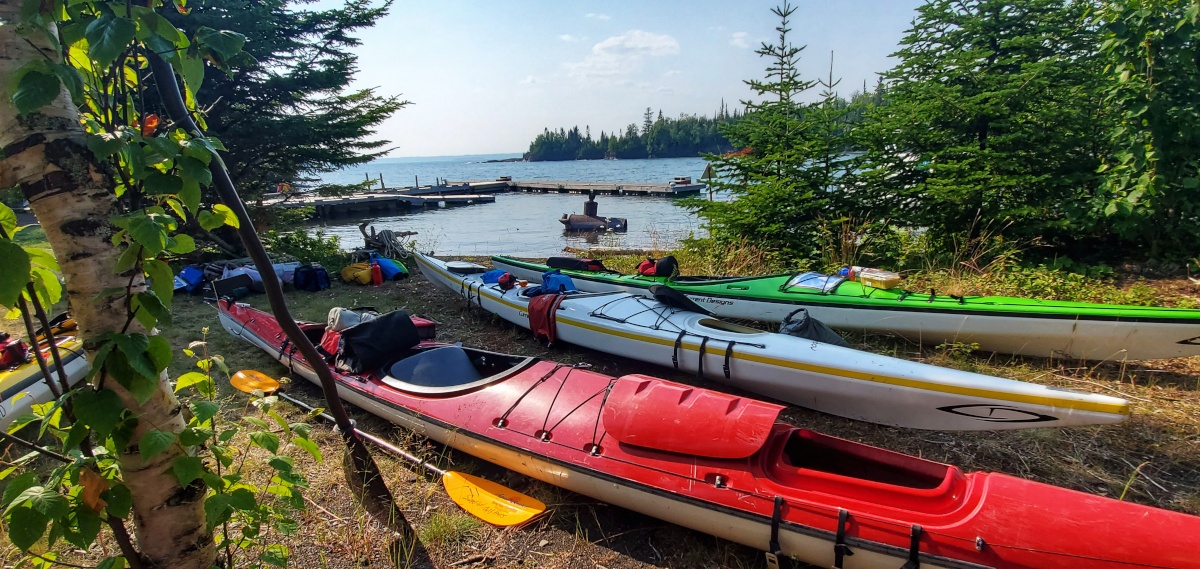
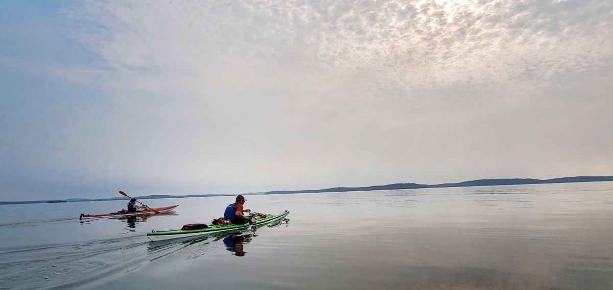
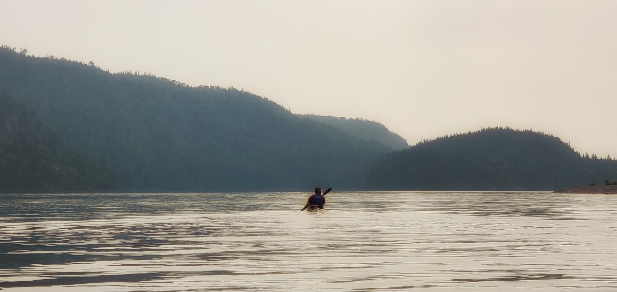
The harbour was calm but we could see it was windy on the water. I love that feeling of floating in the kayak for the first time on a trip, ready to go. It’s one of excitement, anticipation of the unknown and the feeling that all the weight of the world has been lifted right off your shoulders. We just could not wait to get out there and get this trip under way. It had been nearly a year since we picked our paddling dates and after everything going on in the past year, it was a little surprising that we were actually here.
We had planned for roughly 7 days on the water so that we could enjoy our trip to Rossport and allow for any possible weather whipping up that kept us off the water. Our first day was going to be a short one, paddling our first crossing through fun 3 foot waves to Porphyry Island where we would spend the first night.
Day 1: Silver Islet to Porphyry Island Campsite – 13.75 km
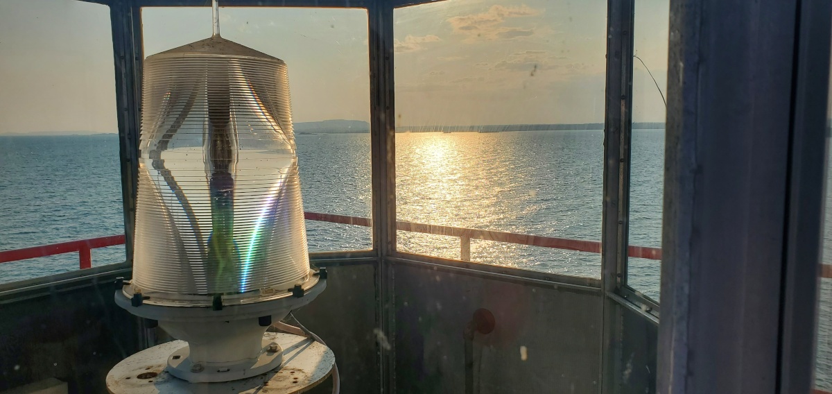
The campsite is located about 1.3 km to the southeast of the lighthouse in a calm little cove. The lighthouses of Superior add an important element to this kayak trip and are steeped in history. This particular lighthouse was established in 1873 and is managed by the very enthusiastic Paul. We just loved hearing his passionate stories of the island and recount of historical events at the lighthouse. Groups can visit the island any time and even stay at the lighthouse cabin. Visit Canadian Lighthouses of Lake Superior for more information. Site Entry Fee: $15.00 per person (bring cash)
Day 2: Porphyry Island Campsite to Stanton Island Campsite - 26.75 km
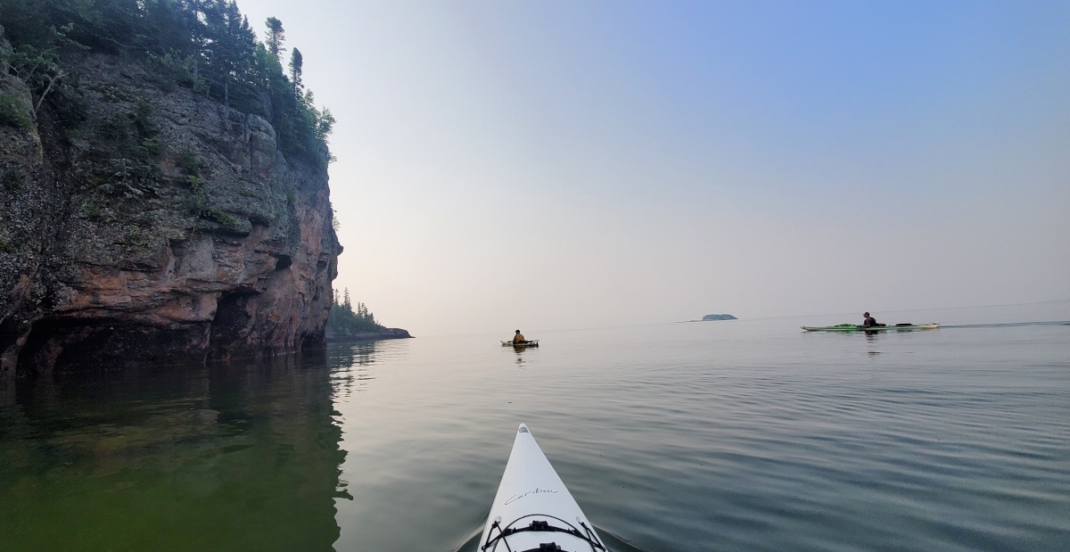
The vast expanse of open water to the south is incredible. Lake Superior is wild, huge and a cold lake that should never be taken lightly. Leaving Porphyry Island, we paddled past the lighthouse and then headed northeast towards Magnet Island. As you reach the crossing to Magnet, look north and you will catch the first glimpse of "The Paps" and the prominent dual hills reaching 300 m to the sky.
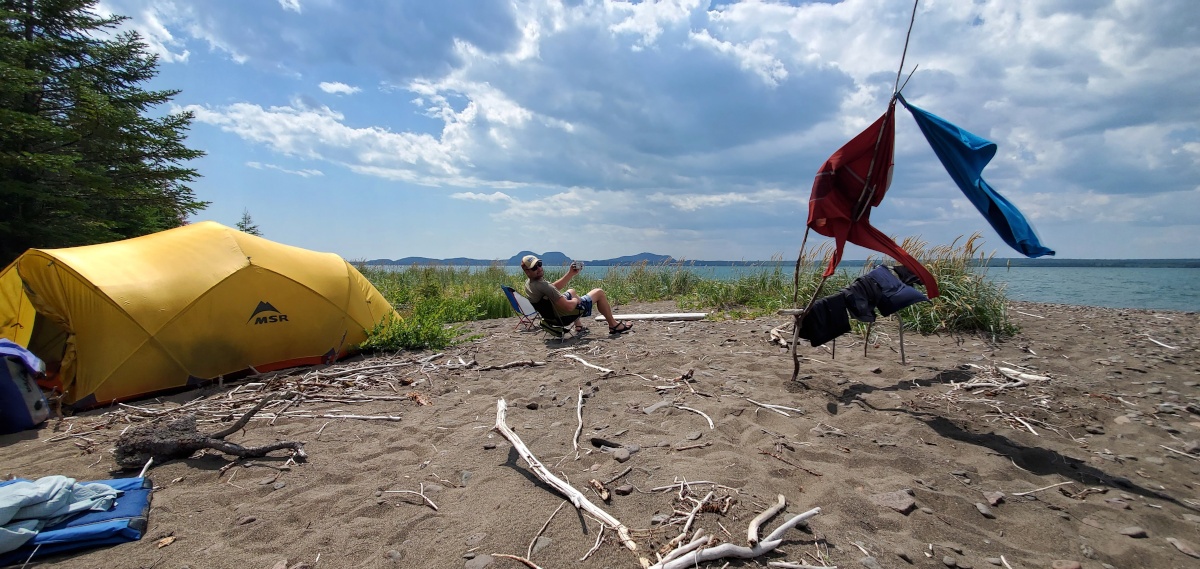
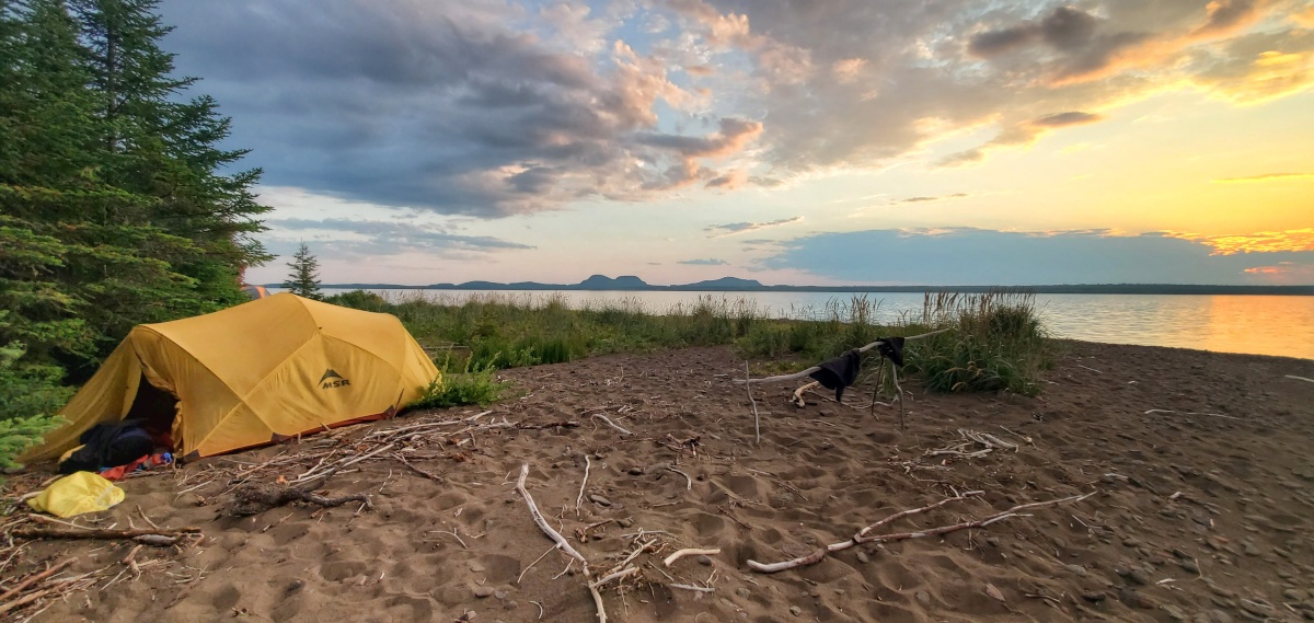
We continued on to Number 10 Island for lunch on the rocks by the old lighthouse and then headed north, paddling between the Barclay Islands. Part of our goal for this trip was to enjoy time at beautiful campsites and the northwest tip of Stanton Island provided us with a beautiful sandy swimming location and fantastic sunset views of the Paps from our tents.
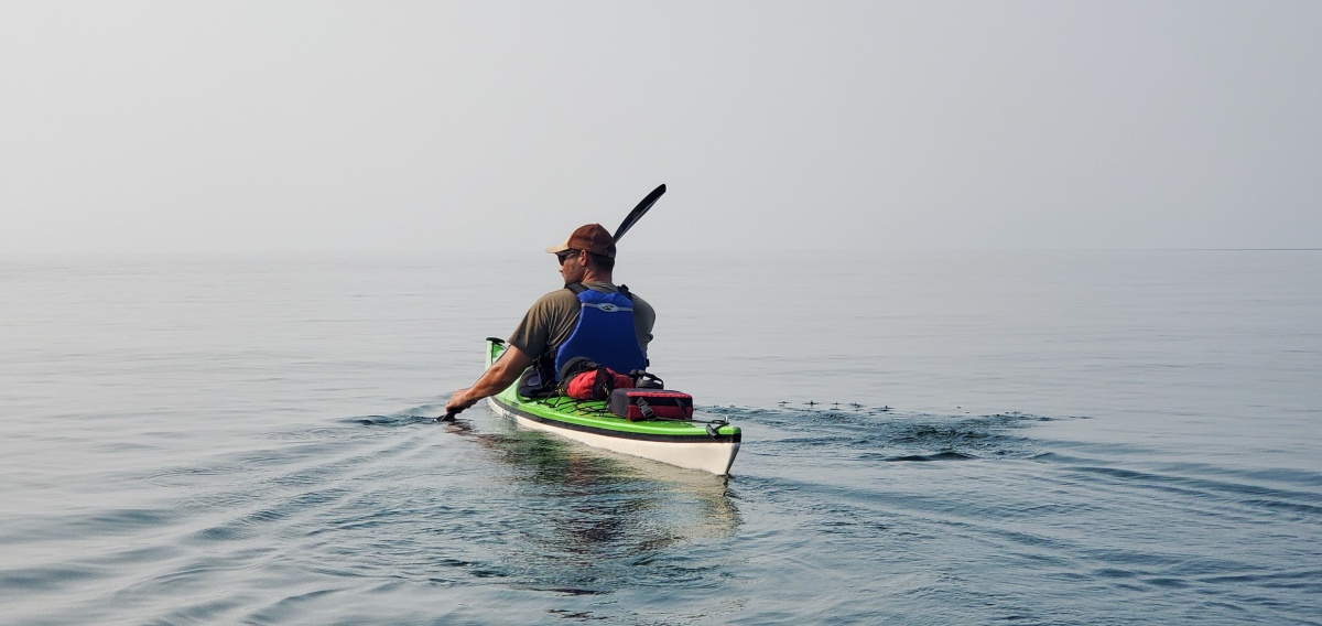
Day 3: Stanton Island to Agate Cove - 23.85 km
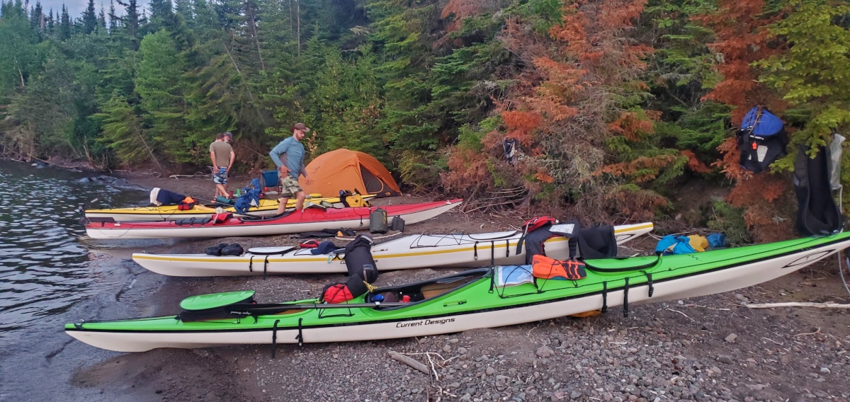
The lake was almost glass again this morning and throughout the entire day. We traveled east to Swede Island and opted not to check out the sauna that was on the east side of the island but continue on instead to the channel between Spain and Borden Island. Here we found another sauna building about 500 m north on the east side of Spain Island. After a short visit we continued paddling through this fantastic little channel to Loon Harbour. After lunch on a steep rocky beach on the north side of Brodeur Island, we made the 4 km crossing to Pleasant Harbour and then on to our beach camp for the night in Agate Cove.
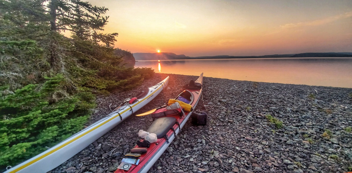
Day 4: Agate Cove to Agate Island (with a side trip to CPR Slip) - 24.50 km
Paddling out of Agate Cove, we just could not believe our fortune with amazing weather. Plan for rough weather and be surprised and delighted when Superior gives what we got. The weather allowed us to take all crossings fairly direct, which saves a lot of time paddling since most of the crossings are BIG! We paddled on the south side of Spar Island and across the Nipigon Strait to Flour Island and then on the west side of Puffin. After a short lunch on the point across from Tisdall Island we made our way to check out CPR Slip on St. Ignace Island. It was an interesting place to check out. Built in the 1800's by the CPR for the entertainment of its customers it is now owned privately and maintained by some local folks for the enjoyment of others. Keep this place in mind if the weather is rough. For this trip, we decided to continue on as we were looking for peace, solace and to get away from anything made by people.
Were we ever glad we did as we made the short jaunt over to Agate Island and discovered what is probably one of the top 10 spots I have ever camped on in my life. The beach is fairly steep to land on and likely could be pretty tricky for rough seas although it has options to land on either the south or north sides of the spit. Climb to the top of the hill on the spit and you will be rewarded with fantastic 360o views.
Day 5: Agate Island to Woodbine Harbour - 23.6 km
We awoke to flat water again and paddled northeast passed Paradise Island Nature Reserve. Be sure to check out the views of Talbot Island and the Lighthouse of Doom on the eastern tip. Next time I will go for a closer look. The crossing to Armour Island was almost 7 km so we decided to head in a little to the north and head a little closer to Nest and Hope Island. We heard there was a place out here called Nirivia and we just had to check it out. Rounding Armour Island on the north side we paddled south into this mystical, serene and peaceful channel with lush forests and cliffs that seemed to reach the sky. Pulling up to the docks of Nirivia, we discovered the embassy of the "micro-nation" and found the land empty for the moment. What an amazing gem and if only we can aim to protect all of our natural environment from development and resource extraction like the Nirivians.
Upon finishing our visit, we paddled back out into the open waters east to French Harbour and then over to Grotto Point on Simpson Island where you will find some interesting columnar basalt structures at the water's edge. Just around the corner we paddled into Woodbine Harbour that felt like an escape from the large lake. Secluded and hidden in the woods, it was an amazing place to hang out for the night.
Day 6: Woodbine Harbour to Wilson Island Beach Campsite (with a side trip to Battle Island) - 20.50 km
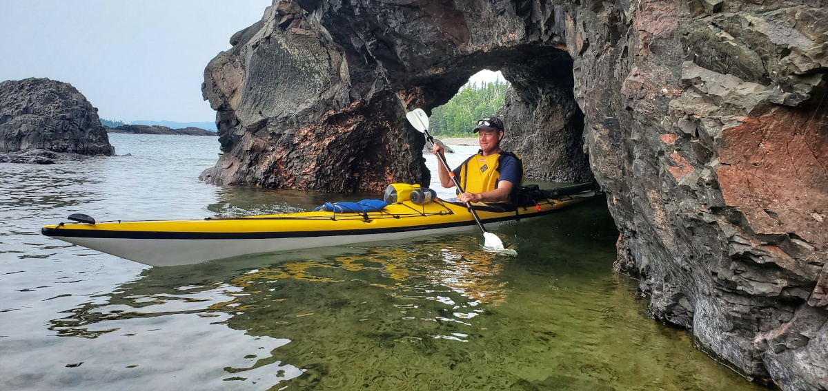
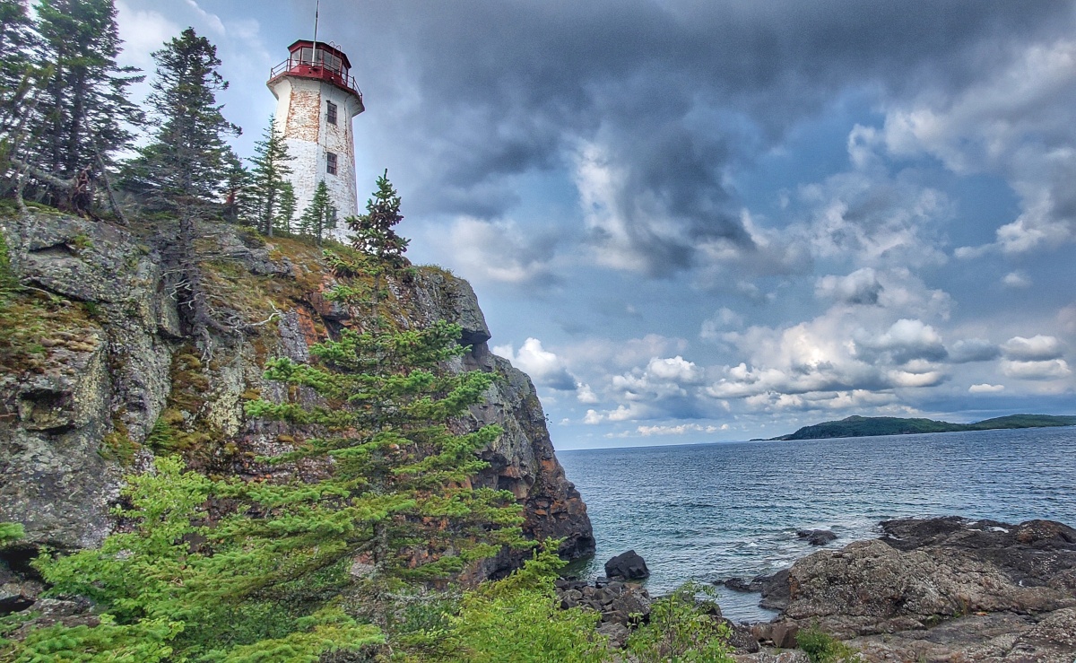
As we left Woodbine Harbour, we paddled close to the south side of Simpson Island and discovered our first small sea cave about 3 km from our campsite. Continuing on for about 7 km, we reached the southeastern point of Simpson Island where we experienced some rougher water for only the second time on the trip. It was also the only day that we saw more than one other paddler on the water as we ran into a small group of paddlers from Lakehead University. The wind was ripping down from the north in the Simpson Chanel which made for a fun 3 km crossing to Battle Island. Despite the fact that you cannot access the lighthouse unless you happen to be with someone who has a key, it is definitely worth the stop to check this out as the island hike to the lighthouse and the point where the lighthouse stands is very picturesque.
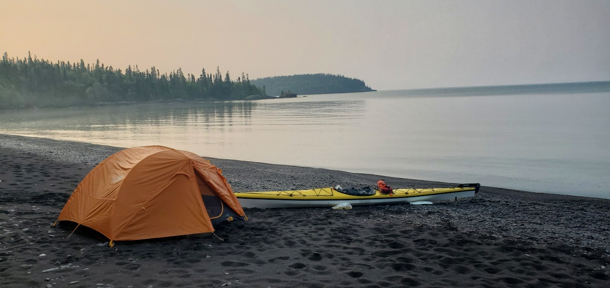
Back in the boats, we headed north towards a small channel on the east side of Harry Island. This short 1.15 km crossing was probably the toughest crossing of the trip so far with a strong headwind and water splashing up all around us. After one last northeast 2.3 km diagonal crossing we landed on an incredible beach well out of the wind (just south of Daylight Point). We pitched out tents in the large tenting area a short distance into the bush but we spent most of our time enjoying the beach and our last views of Lake Superior.
Day 7: Wilson Island Beach Campsite to Rossport - 5.25 km
After a leisurely morning breakfast we packed up the kayaks for the final time and headed north. We landed at the docks as Zach Kruzins from Such A Nice Day paddling was just about to take a group out for the day. Check out his book "A Paddler's Guide to Lake Superior" for a much more indepth read on many more of the sights and camping spots that you can expect to find along this route.
--------------------------------
Special Notes: Lake Superior is a big, cold lake and can experience extremely rough conditions. Consider contacting an outfitter for a guided tour if you are not comfortable paddling on your own or do not have the appropriate equipment.
Rentals from Wilderness Supply
Total Estimated Trip Distance: 138 km
Posted: December 27, 2021
Written and Images By: Rick Shone